
It is one of the largest manufacturers produces of wooden products in the northwest area of Pacific.
Even though Catalyst Paper Corporation is not directly related to managing forests, but the initiatives of CFCI aligns with their top-level management and their thoughts.
It is an organization that deals in the manufacturing of paper and pulp for retail customers.
It is yet another company that deals in lumber product and is known to supply it across the globe.
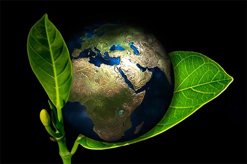
As the human population is growing we are now encroaching into areas that were earlier occupied by the natural landscape. Besides, this has also lead to a degradation of forest and other natural elements.
In order to make sure that this can be saved from happening in the British Columbia Central and Northern coast we have created an organization called the Coast Forest Conservation Initiative.
It is an organization that put forward the efforts of five different British Columbia forest product producers who are now looking to find new approaches towards forest conservation. We focus on ecosystem-based conservation and development, in order to come up with a management plan that will help us conserve one of the largest rainforests in the world.
In order to make this initiative successful, we have partnered with different environmental groups and other entities like the First Nations, Government of British Columbia, and local communities. Overall, our aim to integrate economic, social, and ecological names in order to conserve forests.
In case you want to know more about the different processes and actions that we take in order to conserve forests, then make sure to read through the rest of the website.